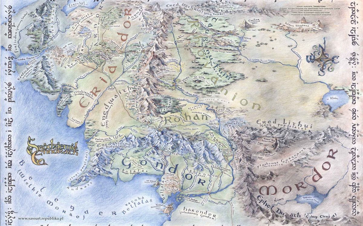
I guess there were deals struck, monies exchanged and promises made to get access to the precious information that went onto those maps. And those maps were a way of managing risk but went on to become a political tool and then a way to assist in planning and managing our world. They also provided us with a unique perspective of our place within it.
Bless the mapmakers for they arguably changed the world. Read on to find out more. >>>

Google Earth is a wonderful thing. As is GIS and GPS technology. I guess back in the day when Abraham Ortelius and Gerardus Mercator were producing maps, the Portuguese explorers said the same thing. The technology has changed by the need for information and communication hasn’t. What has also changed is the ease of dissemination of that knowledge – we all now have access to Ordnance Survey maps, or our local topographic maps, or can order maps of the Himalayas (which we did some years ago when planning a Himalayan trek) or other out of the way places.
There were deals struck
It hasn’t always been like that. Those old mapmakers (otherwise known as cartographers) had to glean as much information as they could from the tales and accounts of seafarers who had made these perilous voyages into oceans uncharted and lands undiscovered (from a European perspective at least). I guess there were deals struck, monies exchanged and promises made to get access to the precious information that went onto those maps. And those maps were a way of managing risk.

Wild and uncharted oceans
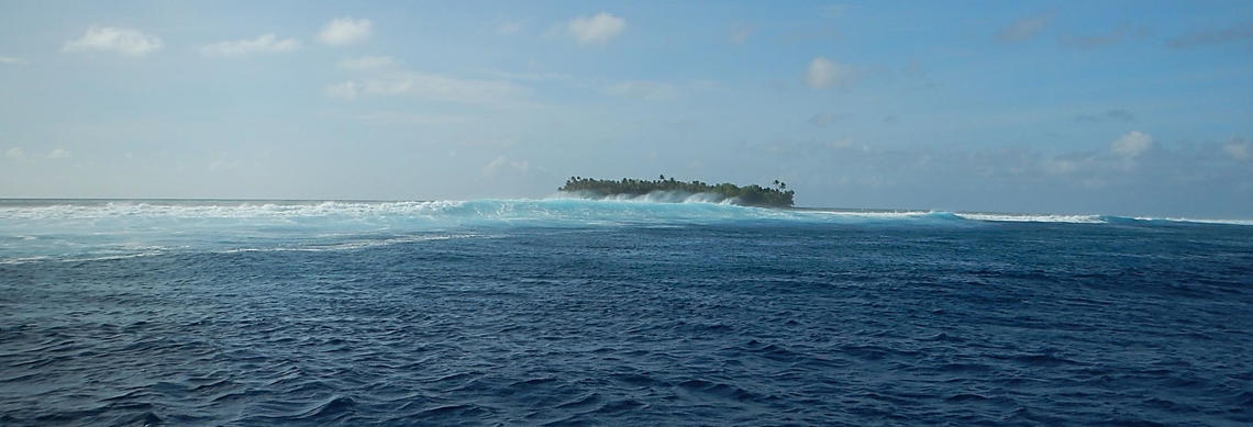
To venture out onto wild and uncharted seas was to not only accept the challenges of storms and doldrums, but the challenge of making a passage to a place you don’t know exists in the first place. Having made that discovery, how then to fix that position in time and space, and make the return voyage without running aground on some low-lying reef or inhospitable coastline? And what is the point of discovering a place if you can’t find you way back there anyhow?
Adventurers could make relatively safe passages
So maps of the oceans became ‘gold’ and vast amounts of time, effort and money were spent in compiling them so that those European adventurers could make relatively safe passages to and from those far-flung outposts. By having a map, or a chart in nautical terminology, you could really reduce the risks attached to any ocean voyage. It was money well spent, because the cost of losing a ship laden with treasure or spices was far greater than the costs of paying the cartographers for their information.

The mapping of India
The British went at it with great enthusiasm
Of course map-making wasn’t confined to nautical charts. The British Ordnance Survey was founded in 1745 when Bonnie Prince Charlie marched his army into England in an attempt to seize the throne. The English realised that they needed maps of the Scottish Highlands to assist them in hunting down the rebels and thus began the mapping of Scotland, and ultimately the whole of Britain. It makes sense to have a map of the country, whether it is for hunting down undesirables or planning the route of a railway or road, so the British went at it with great enthusiasm, and then extended their efforts to mapping their colonial possessions – Africa, Australia, Canada, and perhaps the greatest effort of all, India.
One of the most stupendous works in the history of science
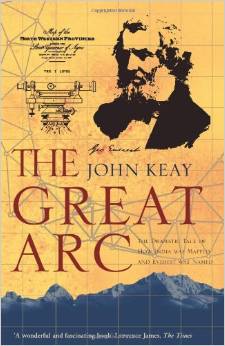
There is a wonderful book called ‘The Great Arc’ by John Keay which tells the tale of mapping of India. I know that Amazon is trying to sell books, but their review of ‘The Great Arc’ sums things up quite nicely when they write “Rightly hailed as "one of the most stupendous works in the history of science," it was also one of the most perilous. Through hill and jungle, flood and fever, an intrepid band of surveyors carried the Arc from the southern tip of the Indian subcontinent up into the frozen wastes of the Himalayas.”

So map making went from being a way of managing risk, through being a political tool, to becoming a way to assist in planning and managing our world, and providing us with a unique perspective of our place within it.
Bless the mapmakers for they arguably changed the world.
Our Rock and Sky Mapwork course focusses on all the aspects of mapwork, where we get down to the nuts and bolts of map making and cartography, and where we try and have some fun as we wrestle with the concepts of scale, latitude and longitude and magnetic declination. Why not leave us your best email address so that we can keep you updated on when we launch the course.
Leave us your best email address so that we can keep you updated on when we launch our Mapwork Course
A promise - no spam, no nonsense, no passing on of your details
If you think that this blog post may be valuable to others, please share.

